

Why Malta Is Seeing Stronger Storms Than Before Like Storm Harry
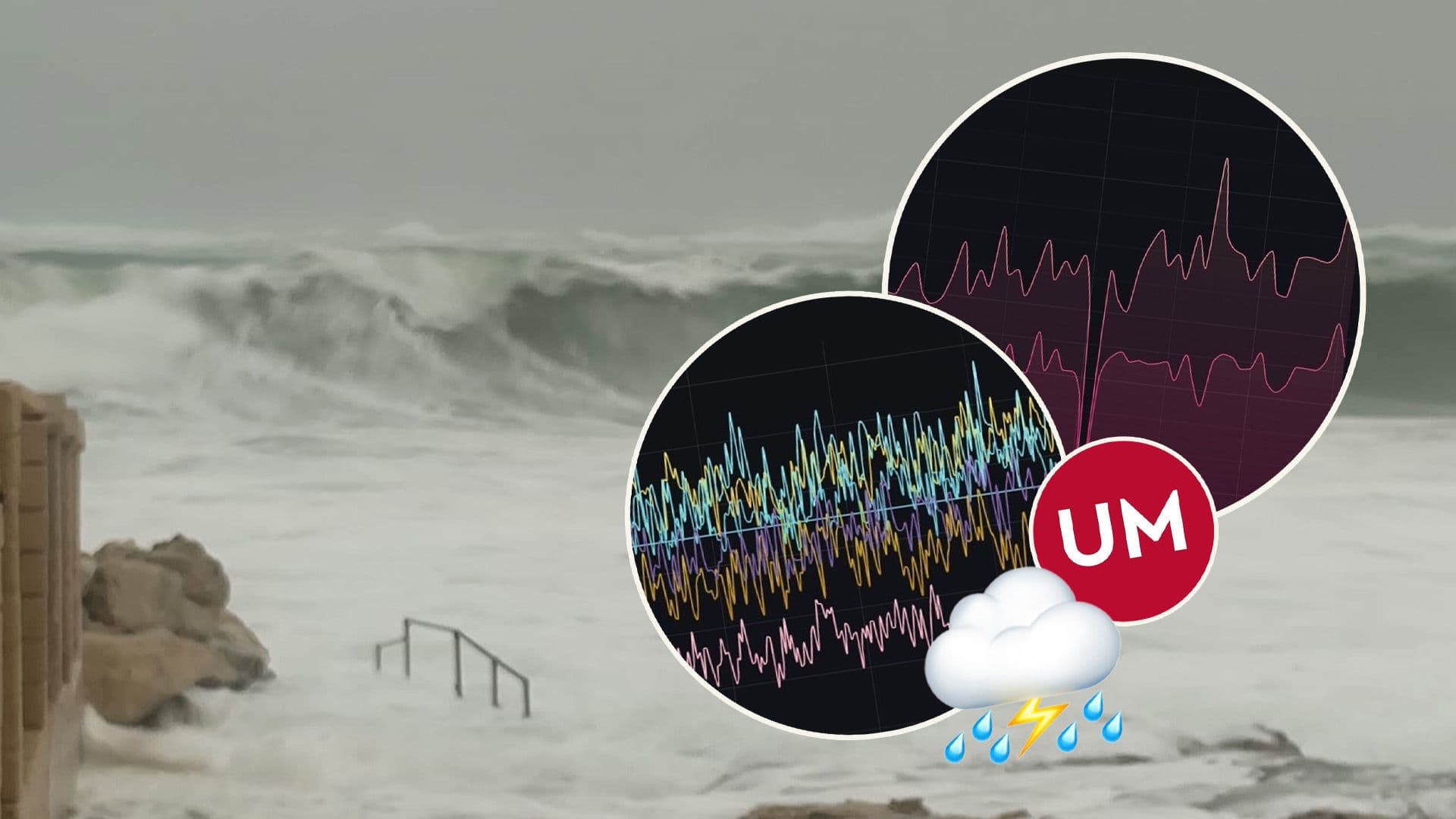
When Storm Harry struck Malta on 20 January 2026, it brought powerful winds, rough seas and intense lightning across the islands.
While many people experienced the storm on land, scientists were closely observing its behaviour at sea in real time. Researchers from the Oceanography Malta Research Group at the University of Malta tracked how both the ocean and the atmosphere responded as the storm developed and passed.
Using advanced monitoring systems, the team recorded key changes in sea conditions. According to Prof. Alan Deidun, Maltese waters are gradually warming, especially during summer, and are no longer cooling as much in winter.
Warmer seas provide extra energy for storms, increasing the likelihood of stronger and more damaging weather events.
One of the most remarkable readings came from BLUE, a research buoy near the Grand Harbour. During the storm, it measured its highest wave ever at 13.14 metres. Sea currents also intensified, while coastal cameras showed dramatic conditions along the shoreline.
Across Malta, wind gusts reached nearly 95 kilometres per hour, and lightning sensors detected more than 600 strikes in just twelve hours. This data is vital for improving forecasts as such storms only gather steam.
#MaltaDaily
