Thunderstorms And Strong Winds Forecasted As Cyclonic System Reaches Mediterranean
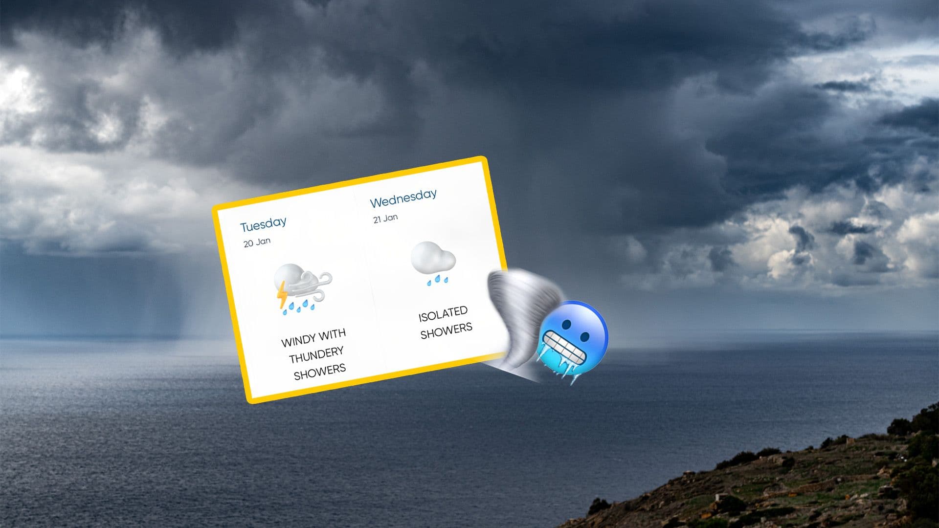
A period of severe and unsettled weather is expected to affect the Maltese Islands in the coming days as a deep low-pressure system moves into the central Mediterranean.
The cyclonic system, currently strengthening over North Africa, Libya and Tunisia, is forecast to deepen to around 998 hectopascals as it shifts northwards, bringing widespread adverse conditions.
Strong to gale-force winds are expected to be a major feature of this weather event. Easterly to east-south-easterly winds will begin to intensify overnight, becoming strong and gusty on Monday 19 January and remaining so through Tuesday 20 January.
Winds are forecast to reach Force 7 during the day, increasing to gale force (Force 8) from Monday evening through to Tuesday morning. Isolated gusts could even reach storm force overnight.
The unstable conditions will also bring prolonged periods of heavy rain, with little or no sunshine expected over at least three days.
The rain may be persistent and driven by strong winds, with some areas potentially recording significant rainfall totals. Thunderstorms may also develop within this unsettled spell.
Sea conditions are expected to deteriorate significantly, with very rough seas forecast, particularly on Monday and Tuesday.
Coastal flooding and wave overtopping are possible in low-lying areas such as Marsaxlokk, Marsaskala, Xgħajra, Wied iż-Żurrieq and Lapsi. Disruptions to Malta–Gozo ferry services are also possible.
#MaltaDaily