NGOs Launch Interactive Map Of Manoel Island
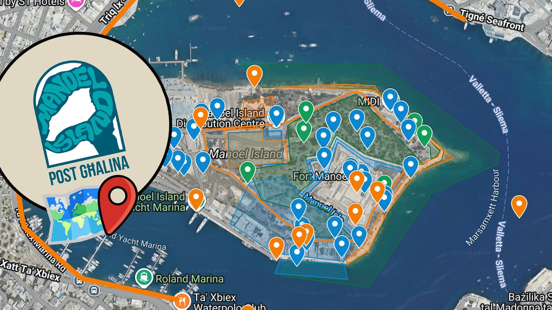
The Manoel Island: Post Għalina campaign has published an interactive map of Manoel Island and its various features which users can explore.
‘Earlier this year, the campaign, led by activists from Moviment Graffitti and Flimkien għal Ambjent Aħjar, successfully petitioned for the renegotiation of a 99-year lease between Government and MIDI to return Manoel Island to the public as a park’, a release statement reads.
This was one outcome of a workshop series which invited the public to discus the vision that should underpin the creation of a public park there.
‘The map features tangible and intangible assets present on or tied to Manoel Island, and was compiled through extensive research, consultation with experts, and conversation with residents, with the guidance of seasoned placemakers.’
‘The public is being invited to explore the rich story of Manoel Island through this map, uncovering centuries of history, rich ecosystems with native and even endemic plants and animals, and public memory that lives in the middle of Marsamxett Harbour.’
This comes as the ‘Shape Your Space’ initiative is launched, with the Prime Minister launching consultations, including with students, about the future of Manoel Island.
The first conversation between the Prime Minster, Environment Minister and over 80 students took place earlier this December.
You can view the interactive map here.
#MaltaDaily